
NexinMap
NexinMap Desktop
Multi-format map viewer · Preview, download, convert and publish
A multi-format viewer brings local files, tile folders and HTTP data onto one map. Preview, download imagery and DEM, convert formats and publish local services in the same desktop app.
NexinMap Desktop
Switch sources
Satellite, vector, terrain and dark basemaps, including Tianditu and more.
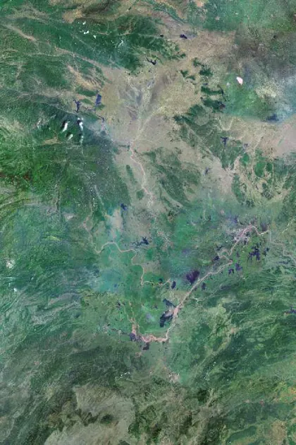
Amap satellite
Default
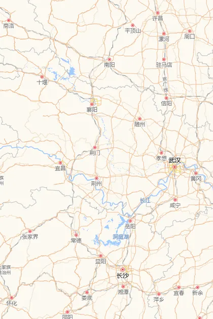
Amap streets
Road network
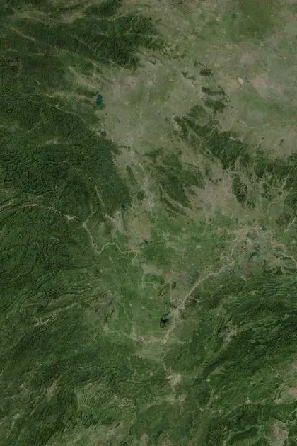
Tianditu satellite
Imagery
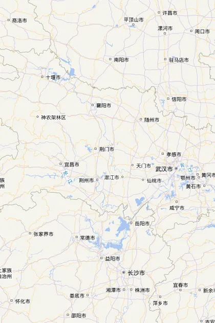
Tianditu vector
Labels
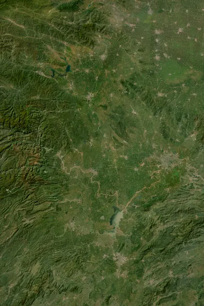
ArcGIS satellite
Global imagery
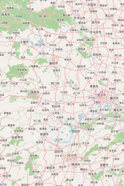
OpenStreetMap
Roads and water
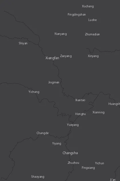
Carto Dark
Dark basemap
Typical use cases
Multi-format map viewer
Open local files, tile folders and HTTP data. Layer imagery, vectors, terrain and 3D Tiles on one map, inspect in 2D or 3D and jump to coordinates.
Preview, download and convert
Preview and pick an area, download imagery, DEM, vectors and 3D Tiles, then convert to GeoTIFF, MBTiles or Cesium terrain. Load the output back into the viewer to inspect it.
Local service publishing
Publish downloaded and converted results as local services. Load and layer them in the viewer, inspect attributes and the 3D scene tree, or export an HTML sample.
China CRS support
Pick and locate in GCJ-02, WGS-84 and BD-09. Tools include file CRS conversion and Gauss-Kruger zoning for domestic survey data.
From viewing to published services
View multiple data formats, preview the map, download and convert results, then publish them as local services.
Multi-format data viewer
Open local MBTiles, PMTiles, GeoPackage, GeoJSON, Shapefile and KML / KMZ files, plus XYZ / TMS folders, Cesium terrain, 3D Tiles and HTTP data. Layer them on a 2D or 3D map.
Preview and inspect
Preview an area before downloading, then load finished outputs. Jump to coordinates and inspect vector attributes, 3D models and layer appearance on the map.
Map download
Download satellite imagery and map tiles by area, with multi-zoom batches, custom sources and resume.
DEM download
Download and clip DEM by area for terrain analysis, profiles and later raster work.
Vector download
Download roads, buildings and water as GeoJSON, KML or Shapefile; vector tiles are also supported.
Four ways to pick an area
Rectangle, polygon, ellipse or the current view as the download boundary.
Historical imagery
Browse Esri Wayback along a timeline and download only the changed tiles.
3D Tiles download
Download 3D Tiles and preview them via the local service and 3D view.
Vector extrusion to 3D Tiles
Extrude building polygons (SHP / GeoJSON / KML) by a height field; keep attributes for click-inspect.
Model conversion
Convert OBJ / FBX / GLB / glTF to 3D Tiles, with textures and an optional scene tree.
Vector tiles
Download MVT; load custom sources on the map.
Tianditu vectors
Download roads, rail, water, settlements and boundaries as GeoJSON, KML or Shapefile.
OSM vectors
Download roads, buildings and water by category as GeoJSON, KML or Shapefile; preview before download.
Administrative boundaries
Search country / province / city / county boundaries as download extents. World borders are built in.
Local service publishing
Publish downloaded or converted results as a local service, load them in the viewer, inspect attributes and the 3D scene tree, or export an HTML sample.
Import extents
Import existing extent files for repeat downloads of the same area.
Measure distance and area
Measure on the map before you start a large download.
Coordinate pick and locate
Click to pick coordinates, or fly to a coordinate.
Raster and tiles
Convert GeoTIFF and tile folders for GIS software.
TIF to Cesium terrain
Convert Float32 single-band GeoTIFF DEM to Cesium quantized-mesh.
Tiles to ArcGIS
Arrange XYZ tiles into an ArcGIS cache folder layout.
Tiles and MBTiles
Convert tile folders and MBTiles for offline distribution.
Vector and coordinate tools
Vector format conversion, file CRS conversion and Gauss-Kruger helpers.
Tickets
Send screenshots online and read replies in the app.
Tasks and cache
Pause and resume tasks; upgrades keep existing jobs, outputs and settings.
Screenshots
Export the current map view for checking extents and archiving.
Questions?Answers here
What is NexinMap Desktop? Can I use it as a map downloader?
NexinMap Desktop brings multi-format viewing, map preview, area-based downloading, conversion and local service publishing into one desktop GIS workspace. Browse local or HTTP data, download imagery, DEM, vectors and 3D Tiles, then convert and publish the results.
What can the viewer open?
The viewer opens local MBTiles, PMTiles, GeoPackage, GeoJSON, Shapefile and KML / KMZ files, XYZ / TMS tile folders, Cesium terrain and 3D Tiles directories, plus HTTP data and locally published services. You can stack layers and inspect them in 2D or 3D.
What map data can I download?
Multi-source basemaps and data: satellite, DEM, historical imagery, 3D Tiles, Tianditu vectors, OSM vectors (GeoJSON, KML, Shapefile). Choose zoom levels and formats; tasks can pause and resume.
Can I turn building polygons or 3D models into 3D Tiles?
Yes. Polygon vectors (SHP / GeoJSON / KML) can be extruded by a height field. Models support OBJ / FBX / GLB / glTF with textures and an optional scene tree for inspect and HTML export.
Which operating systems are supported?
Windows, Linux and macOS. On macOS, if Gatekeeper blocks the first launch, allow it in System Settings.
How do I try and download installers?
Get Windows, Linux and macOS packages on the download page. Request a 14-day trial in the app. Download and conversion need a trial or license. For support, email qiulaoshu1997@163.com.
How do I buy a license?
Paid plans (90 / 180 / 365 days and perpetual) unlock all features; they differ by duration. Perpetual includes 1:1 support. Buy in the app or see the pricing page. ¥50 / ¥88 / ¥168 / ¥888.
What if a download is interrupted?
Pause and resume are supported. Continue from finished tiles and pick multiple zoom levels in the same task.
Will an upgrade wipe local data?
No. Tasks, outputs and settings are kept after upgrades.
Purchase and support
See prices on the pricing page. Complete the order in the desktop app. For help:
Email qiulaoshu1997@163.com
Video tutorialsUser manualDownloadTerms / DisclaimerFeedback
License plans
14-day trial
Request a trial in the app to unlock all download and conversion features.
- One-tap request in the app
- All software features
- 14 days
- Bound to this machine; buy a license after it ends
90 days
Short license. Same features as other paid plans.
- All software features
- Download and conversion
- Valid for 90 days
180 days
Six-month license. Same features as other paid plans.
- All software features
- Download and conversion
- Valid for 180 days
365 days
One-year license. Same features as other paid plans.
- All software features
- Download and conversion
- Valid for 365 days
Perpetual
One-time purchase. Same features as other paid plans, plus 1:1 technical support.
- All software features
- No expiry
- 1:1 technical support
- Dedicated after-sales support