
NexinMap

Miles of maps, landscapes in view

View map data in many formats, then preview, download, convert and publish.

NexinMap Desktop combines multi-format data viewing, map preview, imagery and DEM download, conversion and local service publishing. The mobile app adds basemaps, tracks and offline maps.

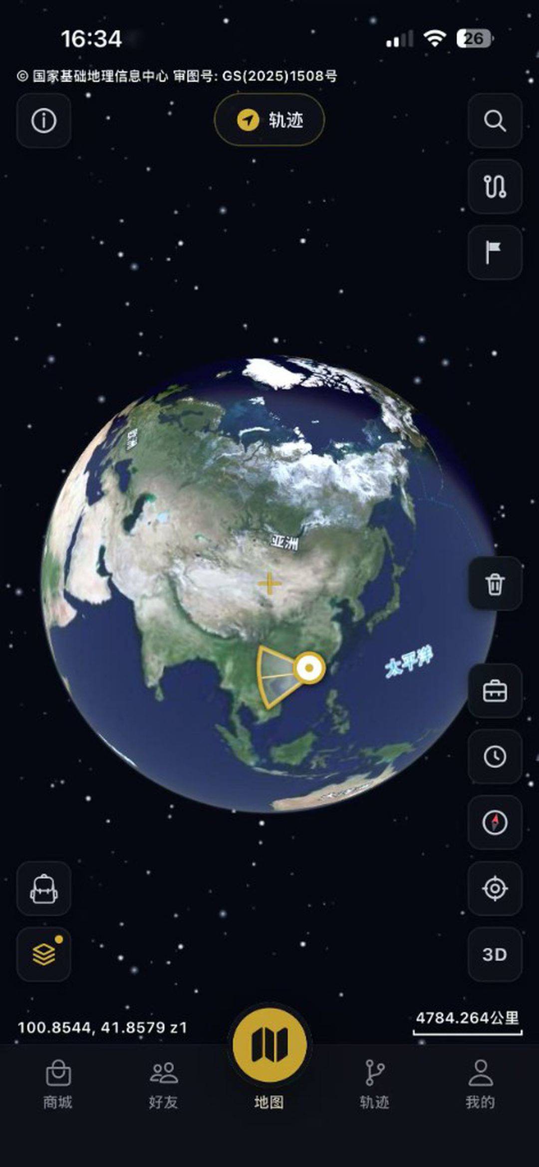
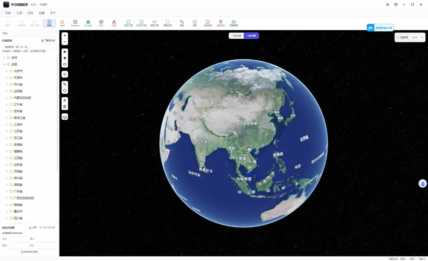
3D globe with global imagery
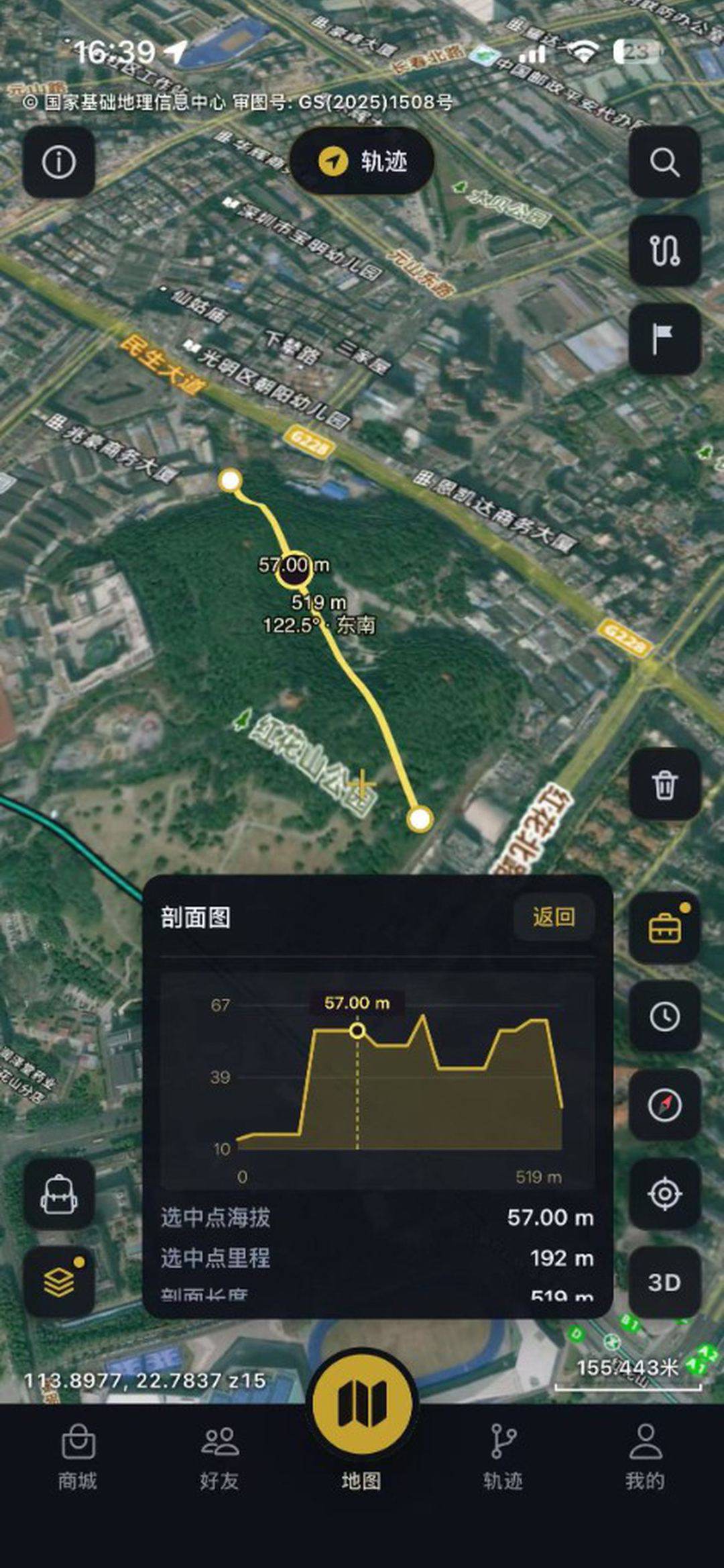
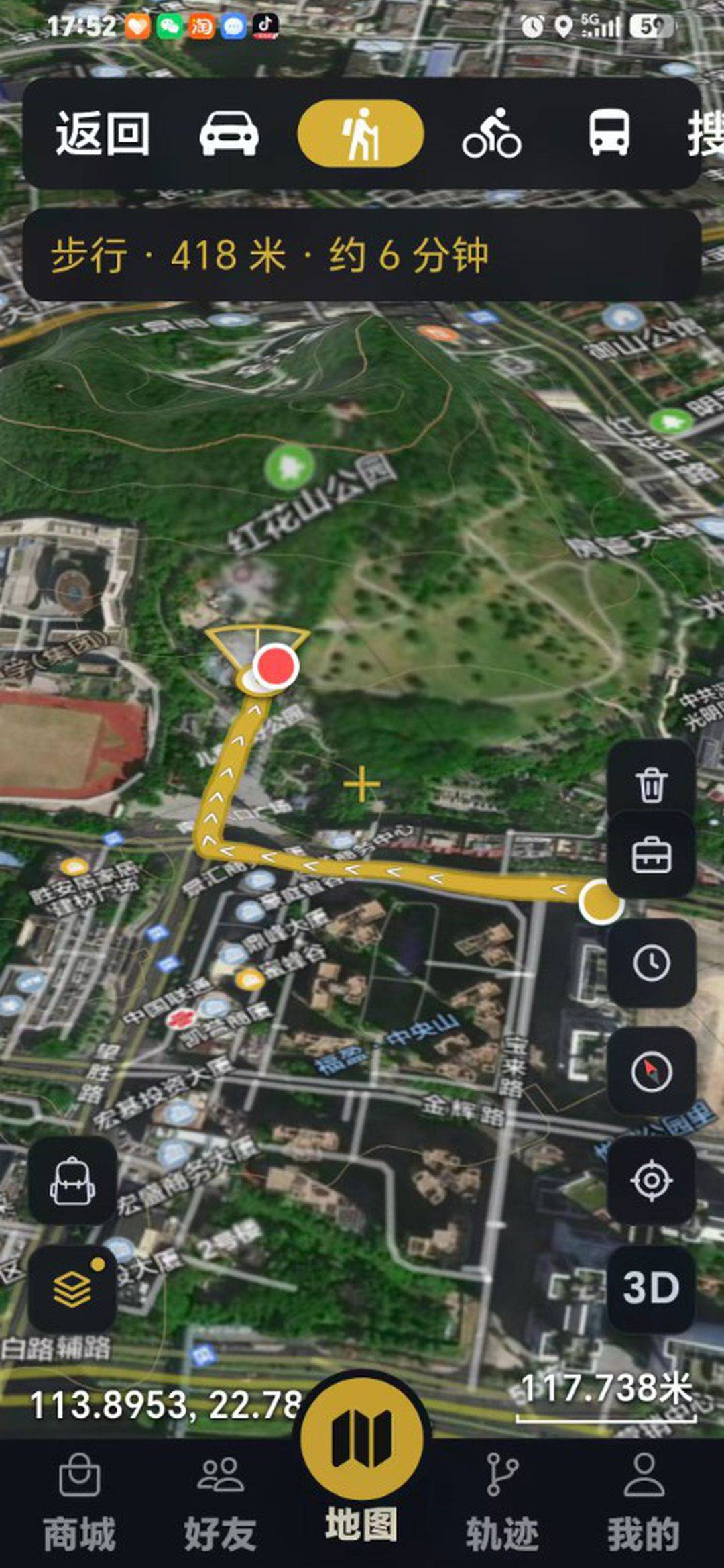
Walking route and navigation
ImageryDEM3D TilesVectorsData viewerConversionExtrusionOffline maps

01 / WORKFLOW

From extent to delivery, one workbench

Browse local and online data, preview the map, download imagery, DEM, vectors and 3D Tiles, then convert and publish local services. Mobile covers field viewing, tracks and offline.

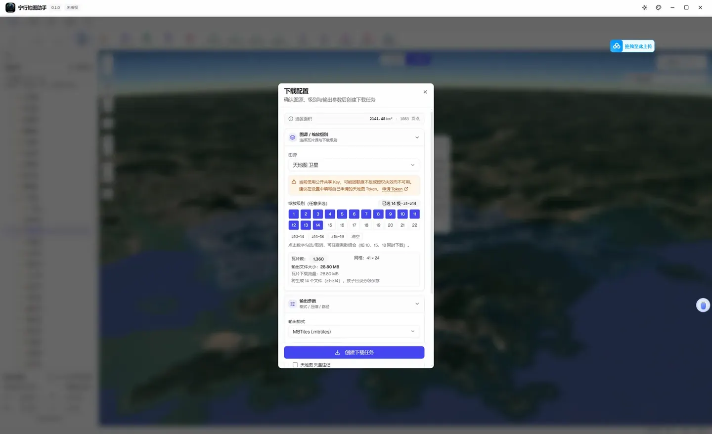
Confirm source, zoom and output format, then start a download

Desktop · GIS data workspace

NexinMap Desktop

A multi-format viewer brings local files, tile folders and HTTP data onto one map. Preview, download imagery and DEM, convert formats and publish local services in the same desktop app.

  • Multi-format viewer for local files, tile folders and HTTP data
  • Preview and download imagery, DEM, vectors and 3D Tiles
  • Convert formats, process 3D data and publish local services
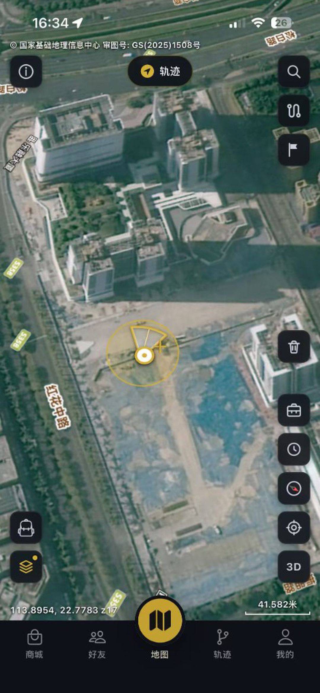
Mobile · Outdoor interactive navigation

NexinMap App

An interactive map app: browse multi-source basemaps and overlays; record walking and cycling tracks with stats; compass navigation, survey tools, a data store, offline maps and friend location sharing.

  • Satellite, terrain and street basemaps
  • Tracks, compass and survey tools
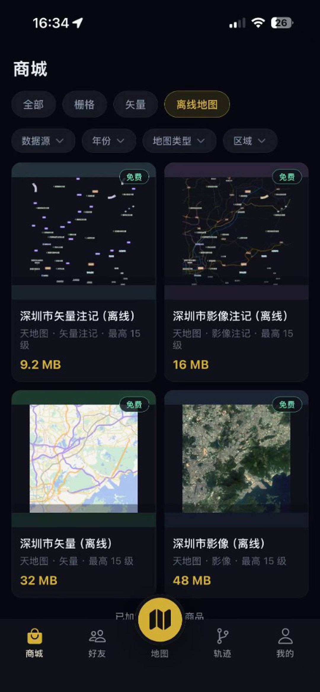
  • Data store, offline maps and friend location
High-resolution satellite imagery

02 / CAPABILITIES

Built for GIS data workflows

Multi-source basemaps

Satellite, hillshade and street labels, plus traffic overlays.

Track recording

Walk, cycle and drive modes; continues when locked or in the background.

Offline maps

Download a region to browse without a network.

Friends and sharing

Friends, online status and location sharing; VIP group sharing.

See all features →

03 / DESKTOP UI

Desktop UI for the full workflow

The viewer, map preview, download tasks, conversion and service publishing share one desktop workflow.

UI preview
3D globe with global imagery

3D globe with global imagery

04 / APP UI

Mobile UI for field mapping

Multi-source basemaps, tracks, offline maps and navigation in one mobile experience.

Walking route and navigation
3D globe and global basemap
Track profile and elevation
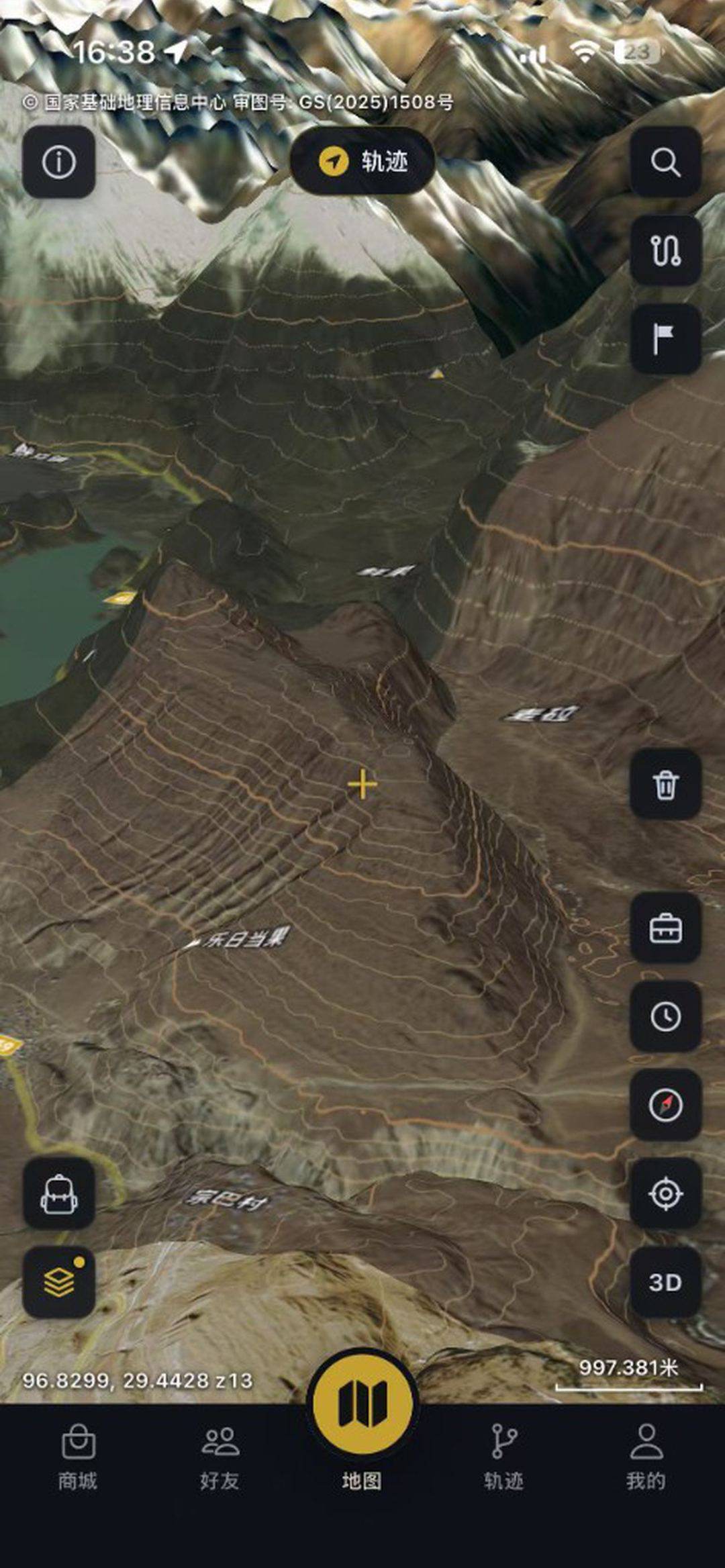
3D terrain and contours
High-resolution satellite imagery
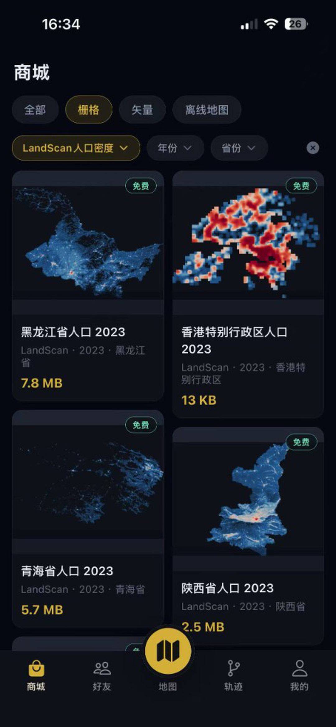
Store LandScan population raster
Offline map download and management